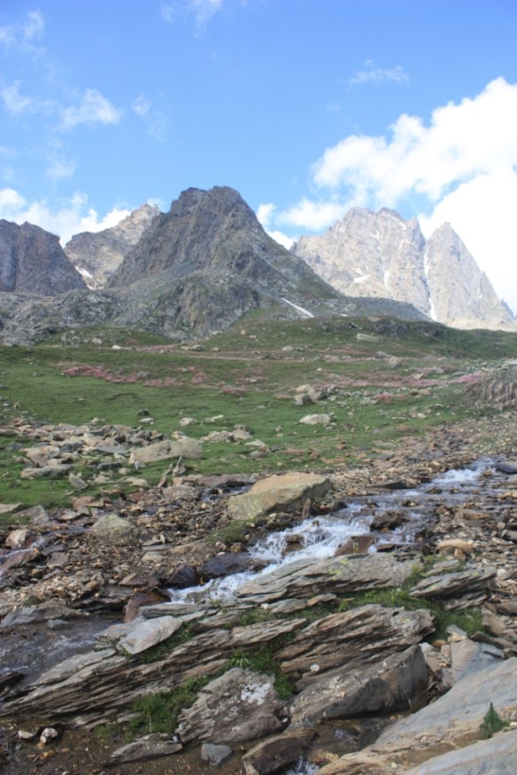
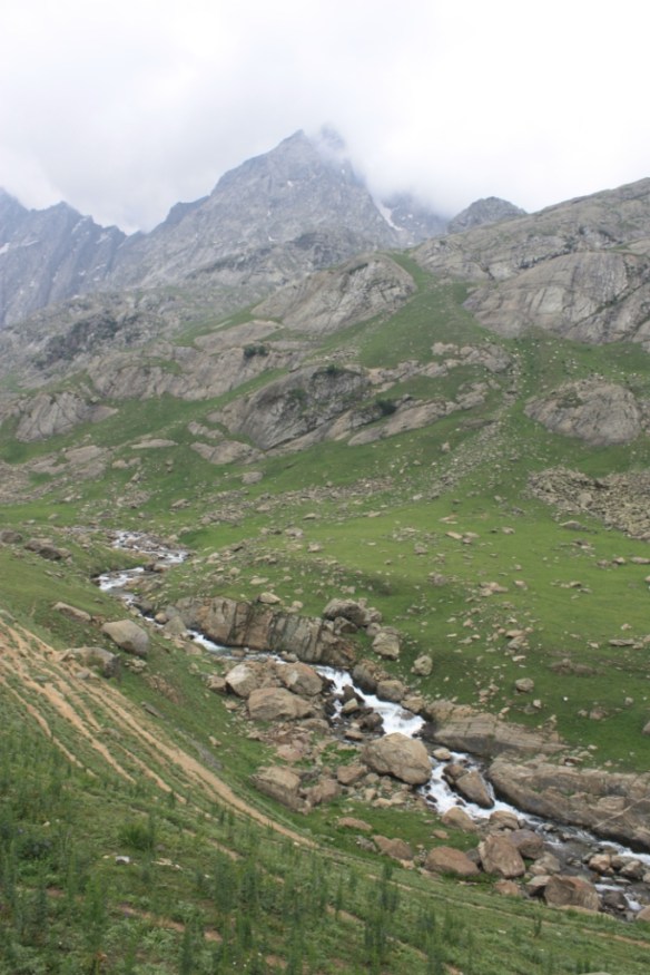
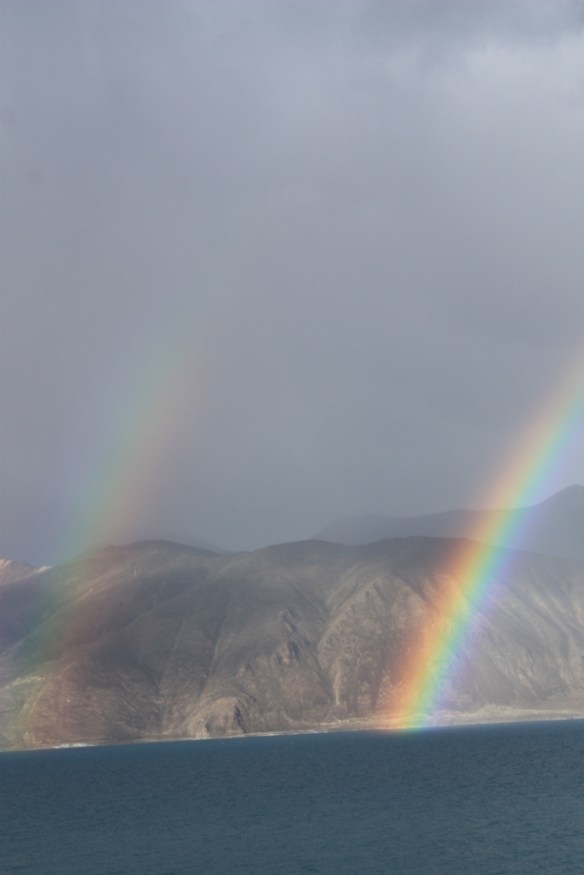
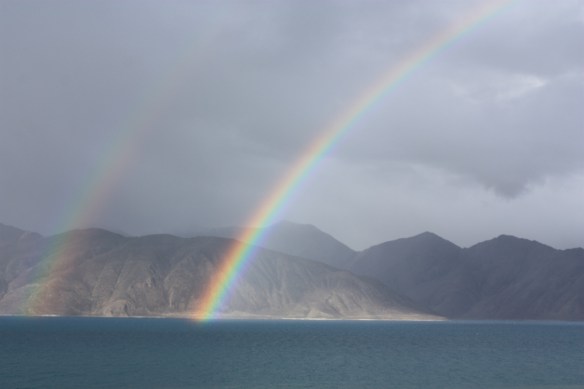
Taken in the Summer of 2015 at Great Himalayan National Park in Kullu District
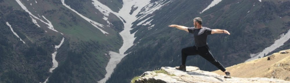
Taken in the Summer of 2015 at Great Himalayan National Park in Kullu District
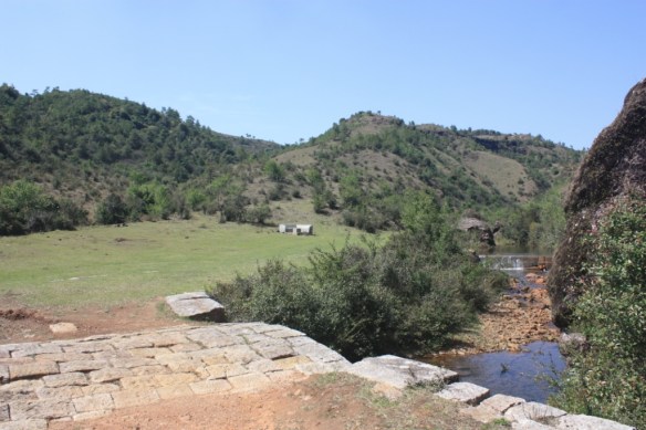
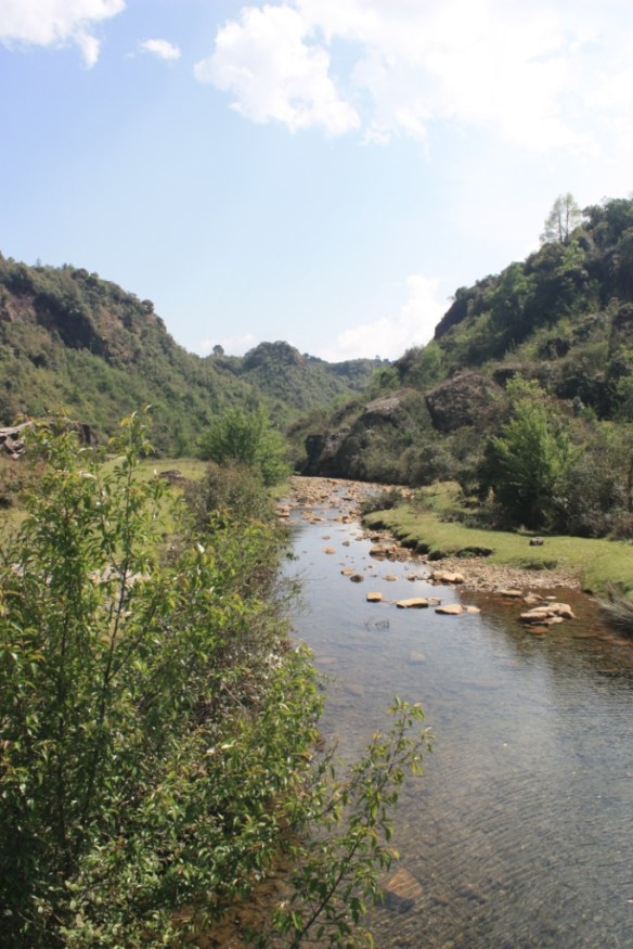


Taken on April 17, 2017 on the David Scott Trail

This was the view were we came off the trail near Lad-Mawphlang
I’m back after three weeks traveling about the Indian Northeast, i.e. the states of Meghalaya, Assam, Nagaland, and Manipur. And I’ve got a pile of pics.
The David Scott Trail is a hiking trail that was built as a carriage trail from Burma into India at the behest of the British colonial leader whose name it bears. Since it was made for traffic by animal-drawn carriages, it makes for easy hiking. It’s a scenic trail. It should be noted that (like most trails in India) it isn’t well-marked, however, the fact that it is wider than most trails and has old paving stones along much of the route makes it fairly easy to avoid getting lost.
We hiked only the section from Mawphlang to Lad-Maphlang. It’s an easy day hike.
 Altitude Illness: Prevention and Treatment by Stephen Bezruchka
My rating: 5 of 5 stars
I picked this book up after my third, and most recent, trek at high altitude. On each trek, I felt the altitude at some point along the trail, but the most troubling and persistent issue for me has been sleep disruption—what I learned in the book was called periodic breathing. That was one of several useful lessons I learned from this book.
Altitude illness is an odd affliction. There’s a clear logic to what is happening inside your body. There’s a lack of sufficient oxygen to get said oxygen distributed throughout your body by way of your body’s business as usual operations. Homeostasis is out of whack, and the body does a number of things at once to rectify the problem. Because of this, in practice the ailment is actually a range of disparate illnesses that can seem to act in an arbitrary manner. Different people feel altitude in different ways. Some have no problems if they acclimate a few days, but others hit a ceiling beyond which they can’t travel no matter what. One’s level of fitness has little to do with how well on acclimatizes. For some, like myself, it can be a nuisance, but for others it can turn into a threat to survival in a flash.
This book is a concise introduction to altitude illness that covers: acclimatization / adaptation [ch. 1], the various forms of altitude illness [ch. 2], prevention [ch. 3], diagnosis [ch. 4], treatment [ch. 5], the effects of altitude given common preexisting conditions [ch.6], and a guide to preparing for a high altitude jaunt [ch.7.] In addition to the chapters mentioned above, there are two final chapters that make for nice features. Chapter 8 presents case studies of various true instances of altitude afflictions. The cases not only make for interesting reading, but also may help one connect the dots as to what is happening with oneself or someone in one’s party. The last chapter is a frequently asked questions (FAQ) collection that helps to summarize and restate issues addressed in the main chapters. The FAQ may also help one find needed information more quickly, rather than having to flip through the entire book while someone is having trouble.
There are some graphics in the book. Most of the graphics are photos of high or extreme elevation environments—and mostly the latter. (fyi: The book calls 12,000 – 18,000 feet [3660m to 5490m] high altitude, and over 18,000ft [5490m] is extreme altitude.) There are also several tables and a line drawing or two. There’s a short bibliographic section that is nicely divided into two sections, one for health care professionals and the other for lay readers.
I found this guide to be useful and well-presented. It’s well organized, concise, and easy to navigate (bullet points are frequently used to good effect.) This is the kind of book that is meant to help you get to the information you need quickly. There’s not a lot of use of the narrative approach beyond the case study chapter and a few anecdotes in the chapters to liven the discussion. I don’t mean to make is sound dry, but it’s a book with a purpose and that purpose isn’t entertainment. The lack of extraneous information and the keeping of blocks of text small is a good idea for this kind of guide. Having said all that, it’s quite readable by a layman. Jargon is explained and there is a glossary. (There are only a few medical terms—e.g. edema (fluid build-up), ataxia (incoordination), and syncope (fainting)that one needs to be concerned with repeatedly.)
If you will be traveling at altitude (and remember that may not be high or extreme elevations, some people have problems at as low as 6000ft [1800m.]) I’d highly recommend this book. I’d further recommend one re-read it on subsequent high elevation travels. It’s a short book and is broken up into tight subsections.

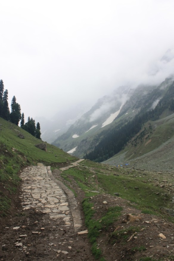
Taken in July of 2015 in Kullu District of Himachal Pradesh

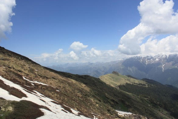
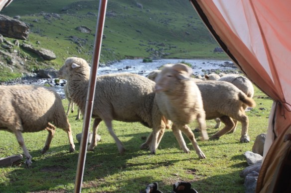
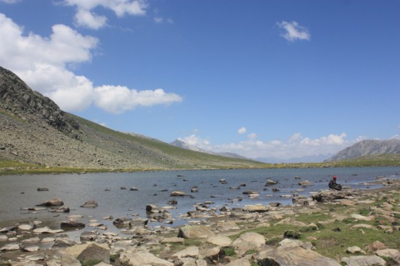
Taken in July of 2016 in Kashmir
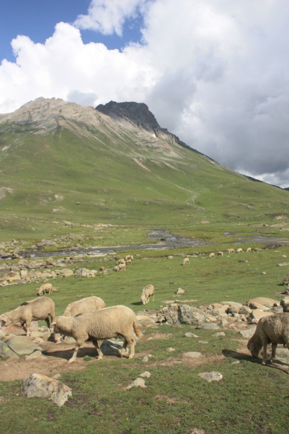
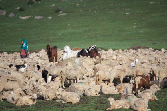
On our Great Lakes of Kashmir trek this past summer, one night our campsite was across the creek from a maximum security sheep prison. I kid you not. At all hours of the night, beams of light would cut through our tent as roving guards made their rounds. And there was the occasional shrill whistle when the inmates would get out of line.
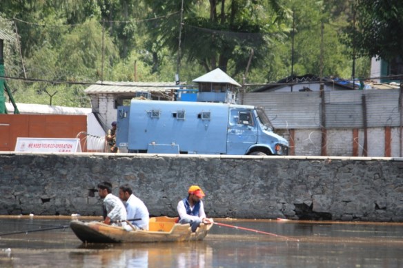
Taken in July of 2016 in Srinagar; Armored Personnel Carrier (APC) in back, fishermen in front, a typical Srinagar scene
We’d made our arrangements. We’d fly into Srinagar and spend a week there to acclimatize and sight-see before a trek that would take us from Sonamarg to Naranag (fyi: this direction was reversed the night before the trek because of bandhs (strikes) that blocked the road from Srinagar to Sonamarg.) After Kashmir we’d head to Ladakh. Standing on the Tibetan Plateau, Ladakh’s greatest risk would be mountain sickness–a risk we’d curtail by acclimatizing in the lower altitudes of Kashmir. On the other hand, Kashmir had the potential to be dicey, but there’d only been infrequent violence in recent years–and never directed against foreigners or tourists. One didn’t even have to get special permits to visit anymore.
That was about a week before a militant commander of Hizbul Mujahideen, Burhan Wani, was killed. Wani’s death triggered a wave of outrage leading to violence. The death toll crept into tens of people. The violence mostly consisted of rock-throwing by young men directed at military, paramilitary, and police forces, and the response of those units involving lethal and less-than-lethal weapons (the latter occasionally were not so “less than,” as was seen with the pellet guns which caused a fatality, reinvigorated the conflict–unbeknownst to us–as we were on the trail.)
We were on the horns of a dilemma. Should we dump our plans and either go to Ladakh for the entire time or someplace else like Kyrgyzstan–which had been on our short list when planning the trip. Either way, we’d loose a little bit of money, but safety wouldn’t be a concern. If we went straight to Leh (11,000 ft+ / 3500m) we’d be less eased into the altitude. Or, should we hope that the troubles would blow over and Kashmir would return to a safe status quo.
It was impossible to tell whether events would settle down or take a turn for the worse. Furthermore, the Indian government took an approach that was–for a democracy–baffling. They shut down the local news outlets, making it even more difficult to find out what was going on on the ground. They also shut down phone and internet communications such that we couldn’t get in touch with our trekking company for several days. We could get in touch with our hotel because many of the locals have lived through past episodes and know how to set up communications so as to avoid being put out of business by government shutoffs. However, asking individuals who have an incentive to keep one coming regardless of the situation, one never knows how much one can trust their suggestions. We dealt with reputable operators, and they were ultimately a primary source of information, but one can never tell in the beginning.
I can only assume the Indian government’s thought process went something like this: 1.) We can’t suggest that people don’t travel to Kashmir because we’ll be seen as pounding the final nail in the coffin of Kashmiri tourism for a season that will already be dismal. This will only exacerbate the current problems because the Indian government is largely blamed for how backwards and under-performing Kashmir is. (Note: while there is wide variation as to what Kashmiris seek–some want to remain part of India but with more autonomy and access to resources, others want to be an independent country, and still others want to be part of Pakistan, none seem to be pleased with the current state of governance.) 2.) On the other hand, we can’t recommend that people travel to Kashmir either because we’ll look like huge putzes if we encourage tourism and travelers gets hurt–we may even face a crisis of confidence in tourism nationally. Therefore, lets just be as opaque as possible. We’ll try to prevent anyone from knowing anything about what’s going on so that whatever decision they make we can say we had no part in it.
Given the dearth of information, our decision ultimately came down to whether we wanted to be optimistic or pessimistic. We chose to be optimistic. I guess that was the right course, because ultimately the trip worked out. However, we did have to be flexible and make a lot of adjustments–often at the last minute. However, we didn’t loose much–or any–money because of the cancellation policies of the businesses we engaged.
First of all, there were some places that we’d planned to visit that were strictly no go. We’d planned to do a day trip to Gulmarg and an overnight trip to Pahalgam. Needless to say, we would have seen a lot more of Srinagar, itself, had it not been closed off. Basically, we could go anywhere we wanted to in the Dal Lake area, including the numerous gardens, but trips into Srinagar Old Town were not happening. We ended up taking an overnight trip to Sonamarg. We didn’t plan to do this because we were to see that town as part of our trek. However, there’s not seven days worth of Dal Lake to see (unless you really want to just relax), so we ended up making two visits to Sonamarg (which also doesn’t warrant that much time, but we couldn’t get anywhere else, and Sonamarg was safe and accessible.)
Second, we could only travel in the dead of night. You probably read the word “curfew” and thought, “Oh, that means that no one can be out after dark.” In Kashmir that logic was reversed, and everybody does everything after dark. As mentioned, drivers wouldn’t drive many stretches of road. However, the places they would go (e.g. safe and secure Sonamarg and locations along the Srinagar-Leh Highway, NH1D) they would only drive overnight. I had trouble grasping this logic, all though it seemed to work. It seemed to me that it would be easier to conduct an ambush in the dark and get away with it. I was told that it wasn’t ambushes that anyone was worried about. Drivers were worried about rock throwers breaking their windshields. Fair enough. It still didn’t make sense. It seemed that if one were going to make mischief, one would set an alarm for 1 am or 5 am and place your basket of rocks next to the bed. The roadblocks created what one might call a target rich environment because all the vehicles were bunched up together. Ultimately, I concluded that the reason it worked was that the rock-throwers lived with their mommies and daddies, and they were tucked in in their jammies during the hours in question.
During our first full day in Srinagar, there was an Indian Minister visiting to help ease tensions. We, therefore, didn’t realize that the vast numbers of police and paramilitary forces were unusual–even relative to the current heightened state of security. The next day, it was a lot less intimidating as there were not AK-47-toting guards every fifty feet along Dal Lake Boulevard.
Ultimately, we never felt unsafe or saw any violence firsthand. Our most unnerving moment came traveling along the Srinagar-Leh highway in the middle of the night when we came upon a huge gathering of people blocking the road. The were just pashmina merchants and restaurateurs who were getting no business, and who were trying to stir up some business in the middle of the night. Needless to say, I suspect few were in the mood for 2 am shopping or eating. However, generally, while the locals were desperate because their tourism season had been strangled, the Kashmiri’s are relatively laid-back compared to much of India, so even the touts weren’t unusually annoying.
We were told not to tell locals that we were American, and we complied with that suggestion. (This obviously doesn’t apply to anyone who can ask to see your passport–e.g. security forces, nor to the sparsely arrayed other tourists–including India tourists–who are more likely to be able to differentiate accents and for whom there is nothing to be gained by deceit.) It’s not that there was any animosity against America, but rather there is a thought that mighty America can fix any problem that it puts its mind to. My wife is of Hungarian origin, so this didn’t even require a lie, per se, as long as she did the talking.
I guess the question of interest to readers is whether they should travel to Kashmir or not? If you can tolerate your plans being changed (or are the type that don’t make plans at all) you’ll be alright. I don’t regret the trip, and I think we had an educational and enjoyable experience.
That said, you may want to adjust downward any times your guidebooks recommends for your visit because you’ll end up bored if your travel is restricted. You may also want to allow more time for travel because only traveling at night means you may lose a day trying to get out of town. I should point out that the hotels were very accommodating with regard to the early check-in necessitated by this travel situation. However, it is a bit more exhausting having to travel through the night.
If you’re not familiar with the nature of the Kashmir conflict, here is a handy timeline from the BBC to help clarify it.
I met a man
along the road
who thought he knew
which way to go.
Certain was he;
he knew the path.
He had a map.
He’d done the math.
“Your map won’t help
you now, I fear.
Past the map’s edge
the world turns queer.”
“I’ll find my way,
be sure of that,”
the man dismissed
with words he spat.
When I returned,
an hour ago,
I passed a car-
cass in the snow.
No doubt, twas he,
the certain man–
hit a blizzard
in burning sands.